FAA 107 Exam Questions with correct Answers
Document Content and Description Below
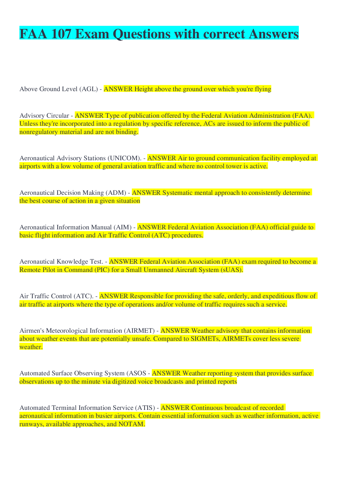
Above Ground Level (AGL) - ANSWER Height above the ground over which you're flying Advisory Circular - ANSWER Type of publication offered by the Federal Aviation Administration (FAA). Unless they'r... e incorporated into a regulation by specific reference, ACs are issued to inform the public of nonregulatory material and are not binding. Aeronautical Advisory Stations (UNICOM). - ANSWER Air to ground communication facility employed at airports with a low volume of general aviation traffic and where no control tower is active. Aeronautical Decision Making (ADM) - ANSWER Systematic mental approach to consistently determine the best course of action in a given situation Aeronautical Information Manual (AIM) - ANSWER Federal Aviation Association (FAA) official guide to basic flight information and Air Traffic Control (ATC) procedures. Aeronautical Knowledge Test. - ANSWER Federal Aviation Association (FAA) exam required to become a Remote Pilot in Command (PIC) for a Small Unmanned Aircraft System (sUAS). Air Traffic Control (ATC). - ANSWER Responsible for providing the safe, orderly, and expeditious flow of air traffic at airports where the type of operations and/or volume of traffic requires such a service. Airmen's Meteorological Information (AIRMET) - ANSWER Weather advisory that contains information about weather events that are potentially unsafe. Compared to SIGMETs, AIRMETs cover less severe weather. Automated Surface Observing System (ASOS - ANSWER Weather reporting system that provides surface observations up to the minute via digitized voice broadcasts and printed reports Automated Terminal Information Service (ATIS) - ANSWER Continuous broadcast of recorded aeronautical information in busier airports. Contain essential information such as weather information, active runways, available approaches, and NOTAM. Automated Weather Observing System (AWOS). - ANSWER Weather reporting system that consists of various sensors, a processor, a computer-generated voice subsystem, and a transmitter to broadcast weather data on a minute-by-minute basis. Aviation Area Forecast (FA) - ANSWER Encompasses the weather conditions over a large regional area. Beneficial in verifying airport conditions at airports that do not have terminal aerodrome forecasts. Aviation Routine Weather Report (METAR). - ANSWER Observation of current surface weather reported in a standard international format. Issued hourly unless significant weather changes have occurred. B4UFly App - ANSWER Smartphone app from the Federal Aviation Association (FAA) that helps unmanned aircraft operators determine whether there are any restrictions or requirements in effect at the location where they want to fly. Center of Gravity (CG). - ANSWER The point at which your aircraft would perfectly balance if it were suspended at that point. Certificate of Waiver (CoW). - ANSWER Allows a Small Unmanned Aircraft System (sUAS) operation to deviate from certain provisions of Part 107 as long as the FAA finds that the proposed operation can be safely conducted under the terms of that Certificate of Waiver. Certificate of Waiver or Authorization (COA) - ANSWER Applies only to public operators (government entities and organizations). Permits nationwide flights in Class G airspace at or below 400 feet, self-certification of the Small Unmanned Aircraft System (sUAS) pilot, and the option to obtain emergency COAs (e-COAs) under special circumstances. Chart Supplement U.S. (formerly Airport/Facility Directory). - ANSWER Provides the most comprehensive information on a given airport. Contains information on airports, heliports, and seaplane bases that are open to the public. Published across seven books, and the information in each of these books is updated every couple of months. Common Traffic Advisory Frequency (CTAF) - ANSWER Frequency designated for the purpose of carrying out airport advisory practices while operating to or from an airport without an operating control tower. Control Station (CS) - ANSWER An interface used by the remote pilot in command or the person manipulating the controls to control the flight path of the Small Unmanned Aircraft System (sUAS). (In basic terms, this is your remote control.) Corrective Lenses - ANSWER Spectacles or contact lenses. Crew Resource Management (CRM). - ANSWER Art and science of managing all the resources that are available to the Remote Pilot in Command (PIC) prior and during flight, including resources both on board the aircraft and from outside sources. Error Chain. - ANSWER When a series of judgmental errors leads to a human factors-related accident FAA Airman Knowledge Testing Supplement for Sport Pilot, Recreational Pilot, and Private Pilot (FAA-CT-8080-2G). - ANSWER Book of figures and charts that is issued during the FAA Aeronautical Knowledge Test at the computer testing centers and referenced in certain test questions. FAA Regional Operations Center (ROC). - ANSWER Network of Federal Aviation Administration (FAA) Command Control Communication Centers. Federal Aviation Administration (FAA). - ANSWER National aviation authority of the United States, with powers to regulate all aspects of civil aviation. Flight Services Station (FSS) - ANSWER Air traffic facility that provides information and services to aircraft pilots before, during, and after flights. Unlike Air Traffic Control (ATC), FSS is not responsible for giving instructions or clearances or providing separation, but they do relay ATC clearances. Flight Standards District Office (FSDO) - ANSWER Locally affiliated field office of the Federal Aviation Administration (FAA). Instrument Flight Rules (IFR). - ANSWER When operation of an aircraft under Visual Flight Rules (VFR) is not safe or legal because the visual cues outside the aircraft are obscured by weather or darkness, instrument flight rules must be used instead. Mean Sea Level (MSL). - ANSWER True altitude, or the average height above standard sea level where the atmospheric pressure is measured in order to calibrate altitude. Related term: Above Ground Level (AGL) Model Aircraft. - ANSWER An Unmanned Aircraft (UA) that is capable of sustained flight in the atmosphere; flown within visual line-of-sight (VLOS) of the person operating the aircraft; and flown for hobby or recreational purposes. MULTICOM. - ANSWER Frequency allocation used as a Common Traffic Advisory Frequency (CTAF) by aircraft near airports where no air traffic control is available. In the United States, the frequency is 122.9 MHz. At uncontrolled airports without a UNICOM, pilots are to self-announce on the MULTICOM frequency. National Airspace System (NAS) - ANSWER Reaches from the surface to 60,000 feet within the continental United States and its territories. Notice to Airmen (NOTAM). - ANSWER Issued when there's aeronautical information that could affect a pilot's decision to make a flight. It includes such information as airport or aerodrome primary runway closures, taxiways, ramps, obstructions, communications, airspace, and changes in the status of navigational aids, to name a few. Time-critical and either of a temporary nature or not sufficiently known in advance to permit publication on aeronautical charts or in other operational publications. Person Manipulating the Controls - ANSWER A person other than the Remote Pilot in Command (PIC) who is controlling the flight of an Small Unmanned Aircraft System (sUAS) under the supervision of the remote PIC. Pilot Report (PIREP). - ANSWER Report of actual weather conditions that the pilot collects mid-flight. Precipitation Static (P-static) - ANSWER Form of radio interference caused by rain, snow, or dust particles hitting the antenna and inducing a small radio-frequency voltage into it. Radio Frequencies (RF) - ANSWER Any of the electromagnetic wave frequencies in the range from around 3 kHz to 300 GHz, which include those frequencies used for communications or radar signals. Radar Summary Chart. - ANSWER Graphically-depicted collection of radar weather reports. Displays areas of precipitation and information regarding the characteristics of the precipitation. Remote Pilot Certificate - ANSWER License that allows a person who passed the Aeronautical Knowledge Exam to serve as the Remote Pilot in Command (PIC) for a Small Unmanned Aircraft System (sUAS). Remote Pilot in Command (Remote PIC or Remote Pilot) - ANSWER A person who holds a Remote Pilot Certificate with a Small Unmanned Aircraft System (sUAS) rating and has the final authority and responsibility for the operation and safety of an sUAS operation conducted under Part 107. Sectional Chart - ANSWER Aeronautical chart showing topographical features that are important to aviators, such as terrain elevations, ground features identifiable from altitude and ground features useful to pilots. Also shows information on airspace classes, ground-based navigation aids, radio frequencies, longitude and latitude, navigation waypoints, and navigation routes. Security Identification Display Areas (SIDA) - ANSWER Limited access areas within airports that require a person to have a badge Significant Weather Prognostic Charts. - ANSWER Best used by a pilot for determining areas to avoid, like freezing levels and turbulence. Small Unmanned Aircraft (Small UA). - ANSWER A Unmanned Aircraft (UA) weighing less than 55 pounds, including everything that is onboard or otherwise attached to the aircraft, and can be flown without the possibility of direct human intervention from within or on the aircraft. Small Unmanned Aircraft System (sUAS). - ANSWER A small Unmanned Aircraft (UA) and its associated elements, including communication links and the components that control the small UA, that are required for the safe and efficient operation of the small UA in the National Airspace System (NAS). To reiterate, the difference between the Small Unmanned Aircraft and the Small Unmanned Aircraft System is simply that the system is the aircraft PLUS all the other equipment and components, such as the remote control / transmitter [Show More]
Last updated: 1 year ago
Preview 1 out of 14 pages
Buy this document to get the full access instantly
Instant Download Access after purchase
Add to cartInstant download
We Accept:

Also available in bundle (1)
FAA 107 Exam / Study Guide All Graded A( Full Pack solutions)
FAA 107 Exam Part 107 Drone Test Prep FAA 107 Study Guide FAA 107 Commercial Drone Pilot Exam Material FAA 107 Drone pilot test questions
By Nancylect 1 year ago
$16.5
5
Reviews( 0 )
$9.00
Document information
Connected school, study & course
About the document
Uploaded On
Sep 29, 2022
Number of pages
14
Written in

Additional information
This document has been written for:
Uploaded
Sep 29, 2022
Downloads
0
Views
54
.png)