Management > EXAM > FEMA 480- UNIT 3 questions and answers 100% correct (All)
FEMA 480- UNIT 3 questions and answers 100% correct
Document Content and Description Below
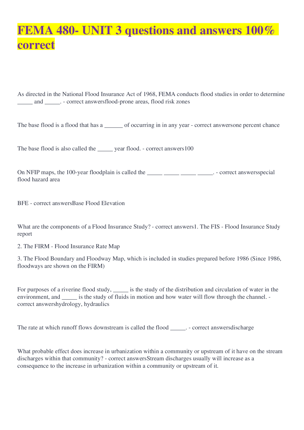
As directed in the National Flood Insurance Act of 1968, FEMA conducts flood studies in order to determine _____ and _____. flood-prone areas, flood risk zones The base flood is a flood that h... as a ______ of occurring in in any year one percent chance The base flood is also called the _____ year flood. 100 On NFIP maps, the 100-year floodplain is called the _____ _____ _____ _____. special flood hazard area BFE Base Flood Elevation What are the components of a Flood Insurance Study? 1. The FIS - Flood Insurance Study report 2. The FIRM - Flood Insurance Rate Map 3. The Flood Boundary and Floodway Map, which is included in studies prepared before 1986 (Since 1986, floodways are shown on the FIRM) For purposes of a riverine flood study, _____ is the study of the distribution and circulation of water in the environment, and _____ is the study of fluids in motion and how water will flow through the channel. hydrology, hydraulics The rate at which runoff flows downstream is called the flood _____. discharge What probable effect does increase in urbanization within a community or upstream of it have on the stream discharges within that community? Stream discharges usually will increase as a consequence to the increase in urbanization within a community or upstream of it. What consequences on flood water level of a stream would usually occur when a bridge is constructed over a stream? A hydraulic analysis is always required to determine the effect of any bridge construction over a stream. However, construction over a stream is considered an obstruction to the flow and therefore may increase the flood water level upstream of the construction. To locate the true elevation at a site, surveyors have established _____ _____ marks also known as _____ marks. elevation reference, bench Cross sections describe the _____ of the floodplain. shape Flood profiles are developed by plotting the flood elevations at the _____ _____and connecting the plotted points. cross sections To make a floodplain map, the base flood elevations are plotted on a _____ map or a _____ map. topographic, contour The _____ is defined as the stream channel and that portion of the adjacent floodplain that must remain open to permit passage of the base flood. floodway A floodway analysis conducted to the minimum NFIP standard allows the fringe to be obstructed until the base flood level is increase by how much? 1 foot What causes a storm surge? Storms that bring air pressure changes and strong winds that pile water up against the shore. What is wave runup? When waves hit the shore, water moves with such force that it keeps traveling inland higher than the stillwater flood level. Instead of cross sections, coastal flood engineers survey _____ . transects The BFEs for coastal studies are the _____ _____ plus the _____ _____. stillwater elevations, wave runup The most hazardous part of the coastal floodplain is the _____ ______ ______ area, which is shown on the map as a _____ Zone. coastal high hazard, V What differentiates shallow flooding from riverine flooding? Shallow flooding is distinguishable from riverine or coastal flooding because if occurs in areas where there is no channel or identifiable flow path. Flood studies that do not identify BFEs are call _____ _____. approximate studies Prior to 1986, the maps published with an FIS are the _____ and the _____. Since 1986, the map published with an FIS is the ______ old format FIRM, FBFM (Floodway Map), new format FIRM What does an elevation reference mark look like on a FIRM? Locations are identified with a small "x" and the designation "ERM" or "RM" followed by a number What is an AO zone? The area subject to sheet flow, ponding, or shallow flooding. How is a floodway shown on the Flood Boundary and Floodway Map? It's the white area adjacent to and including the channel. How is floodway shown on new format FIRM? It is a shaded area with diagonal lines. A Zone C on an old format FIRM is shown as a Zone _____ on the newer format FIRM. X (unshaded), higher than the 500 yr CBRA Coastal Barriers Resources Act What communities' floodplains are shown on a countywide FIRM? All communities in the county, even those currently not in the NFIP. Floodways are shown along the ____________ toe of a levee on the FIRM. landside Area behind recognized levees are designated as _____ _____. Shaded Zone X the base flood elevation is the elevation of the _____-year flood or the _____ % annual chance flood. 100. 1 The Special Flood Hazard Area or SFHA is how the ______ ______ floodplain is shown on FEMA maps. base flood [Show More]
Last updated: 1 year ago
Preview 1 out of 6 pages
Reviews( 0 )
Document information
Connected school, study & course
About the document
Uploaded On
Nov 18, 2022
Number of pages
6
Written in
Additional information
This document has been written for:
Uploaded
Nov 18, 2022
Downloads
0
Views
65

